Search The MLS
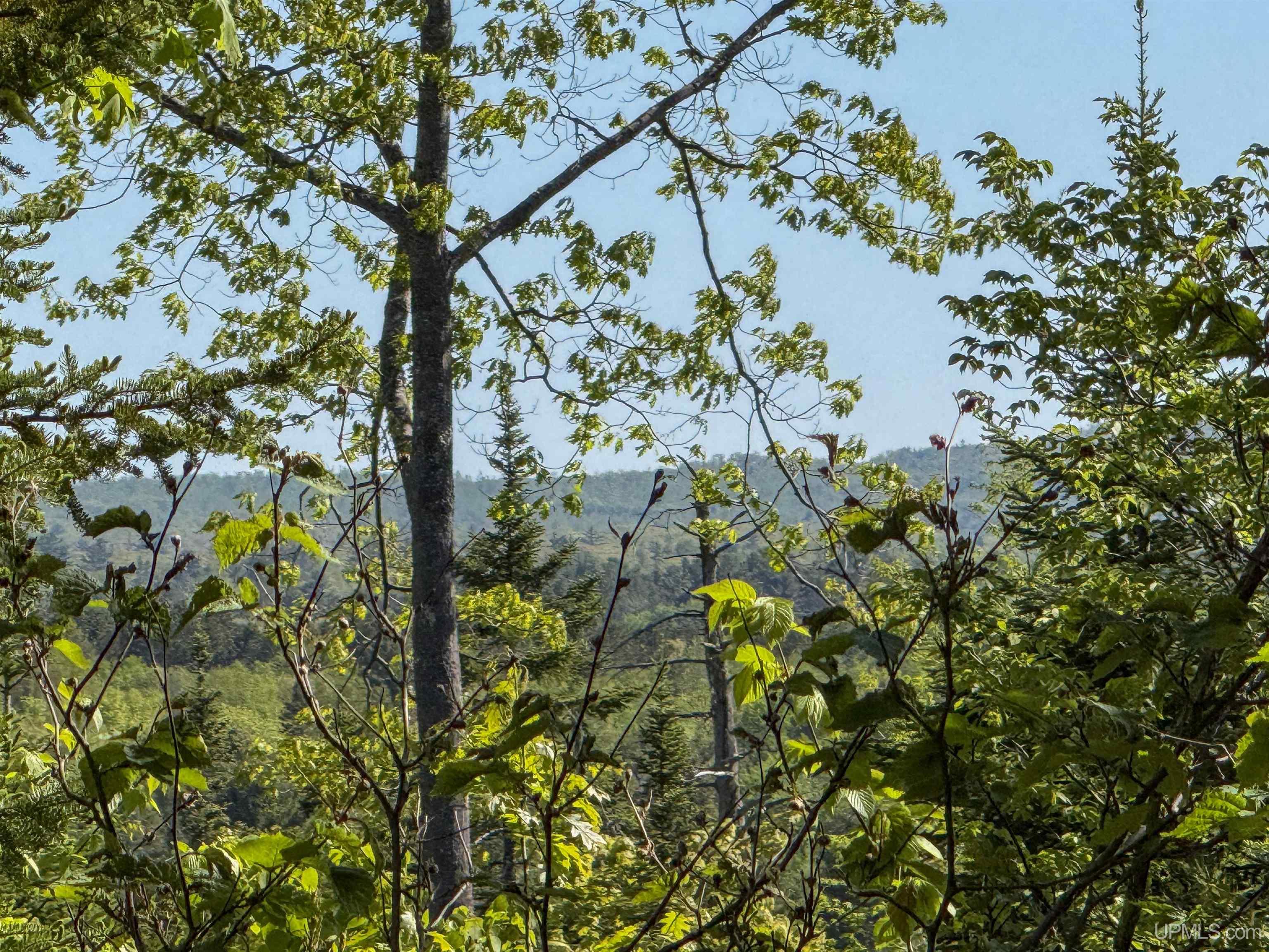
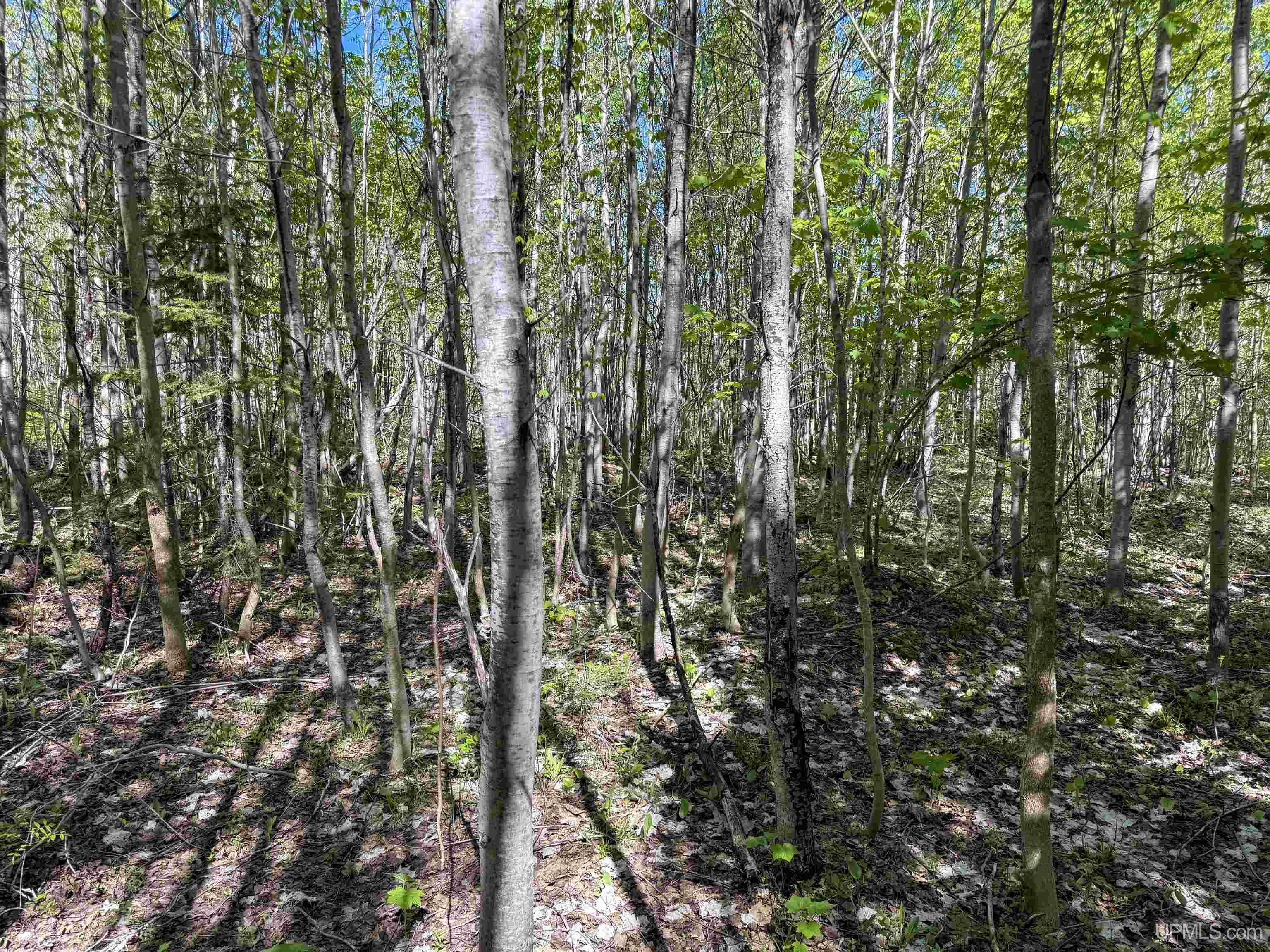
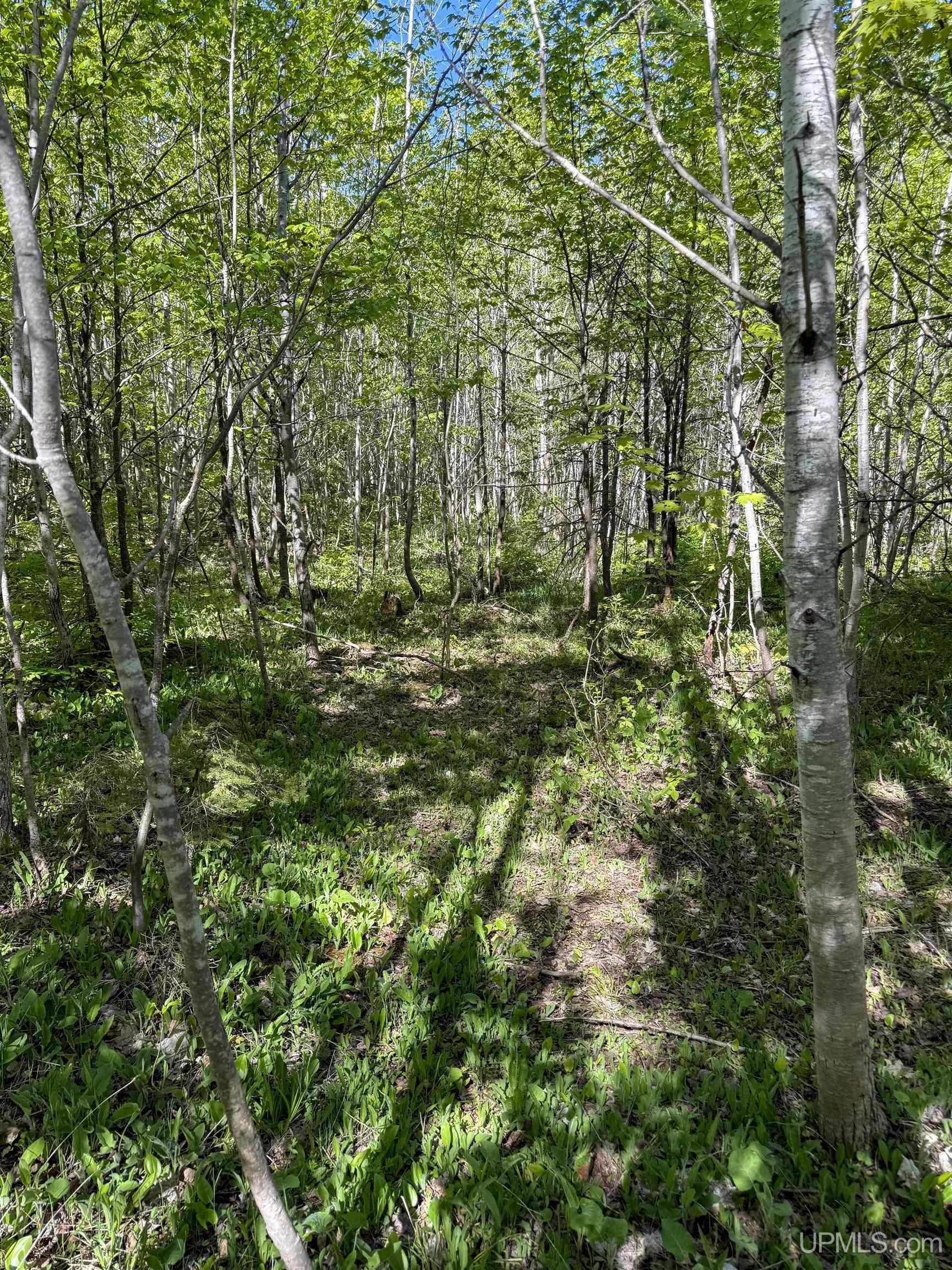
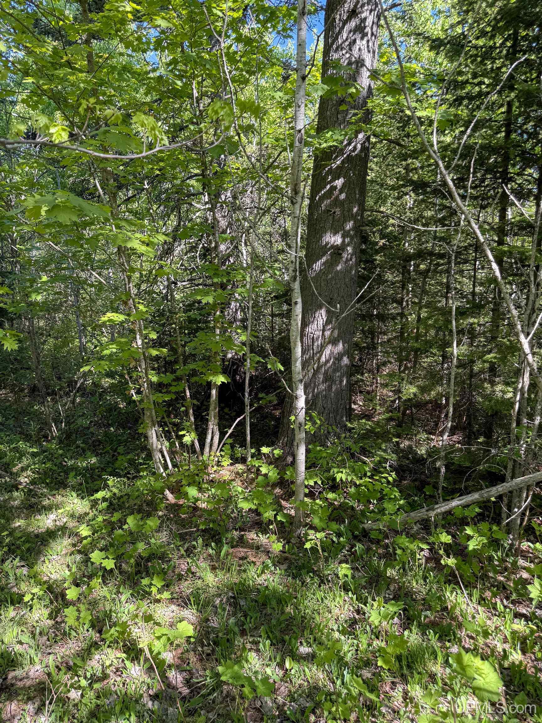
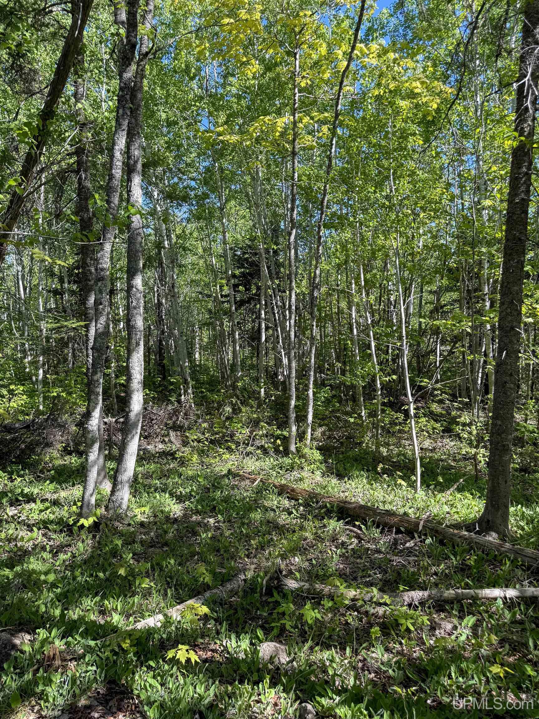
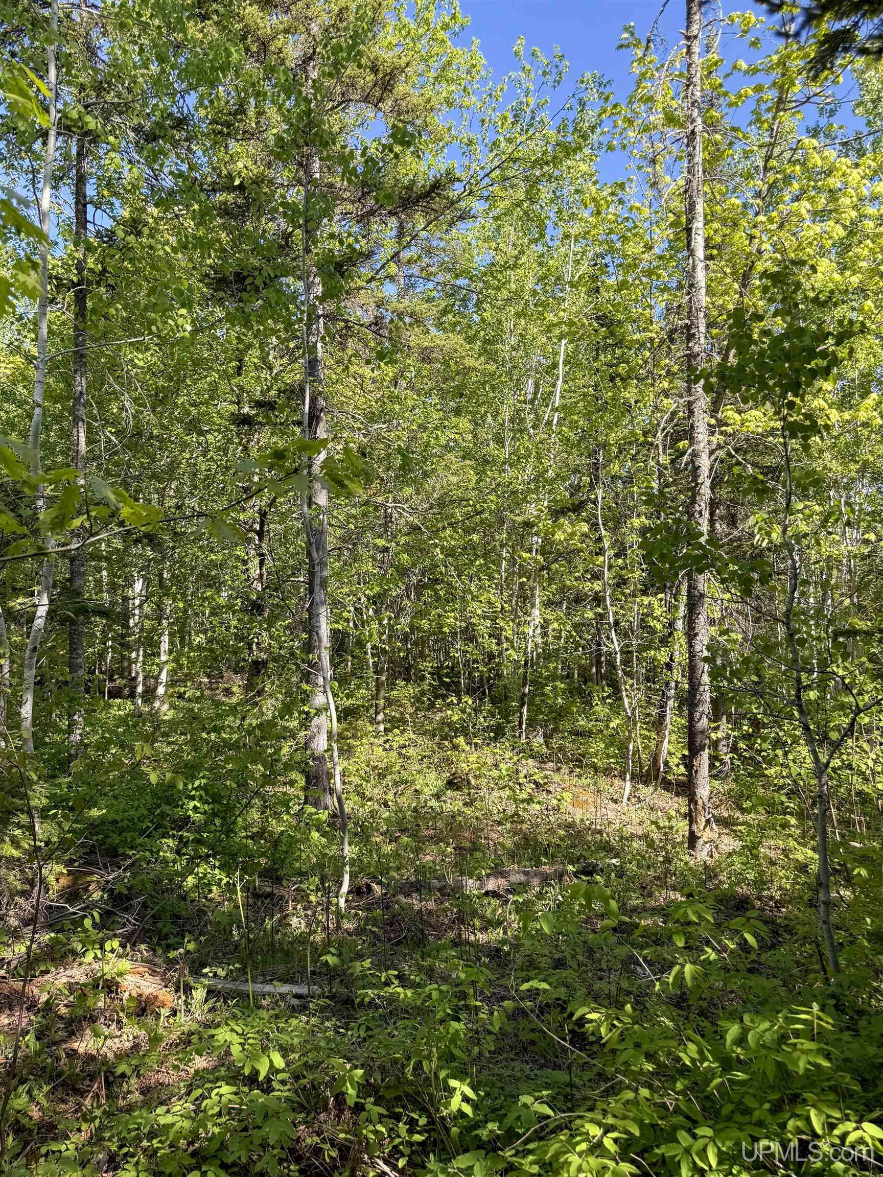
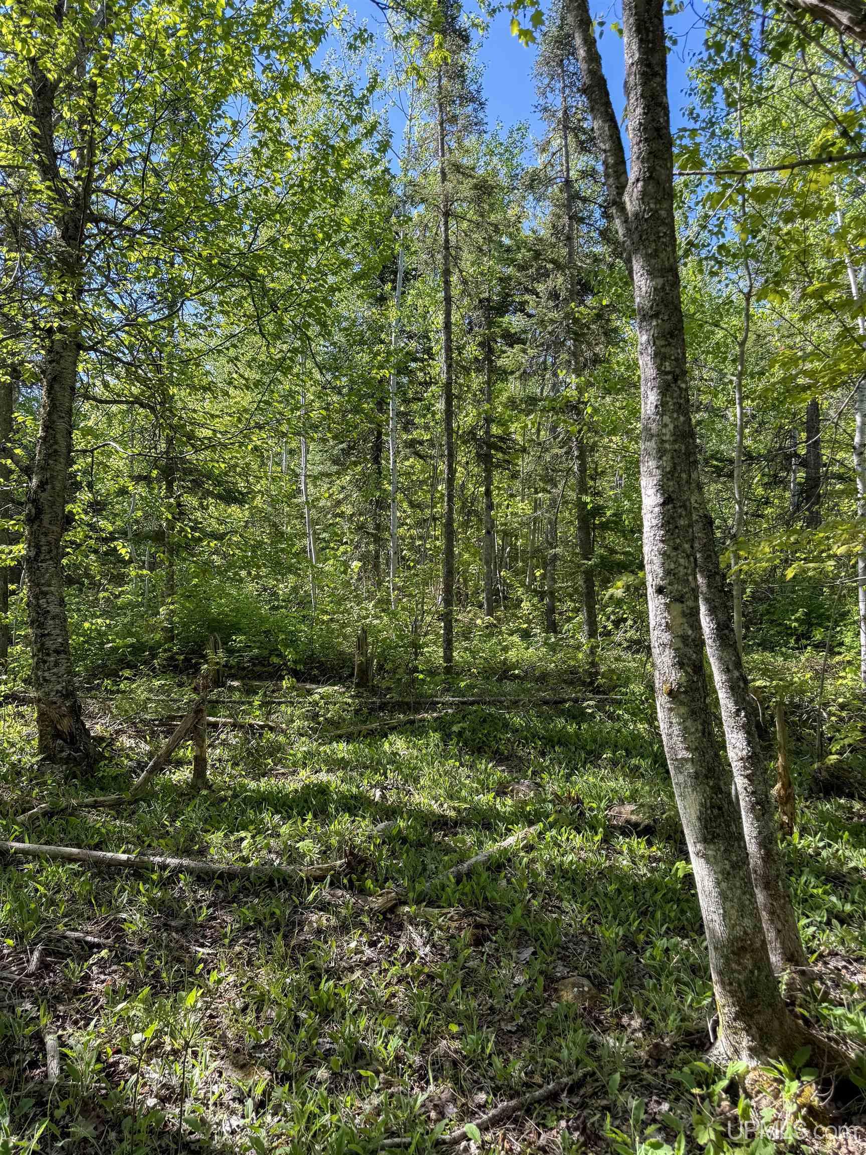
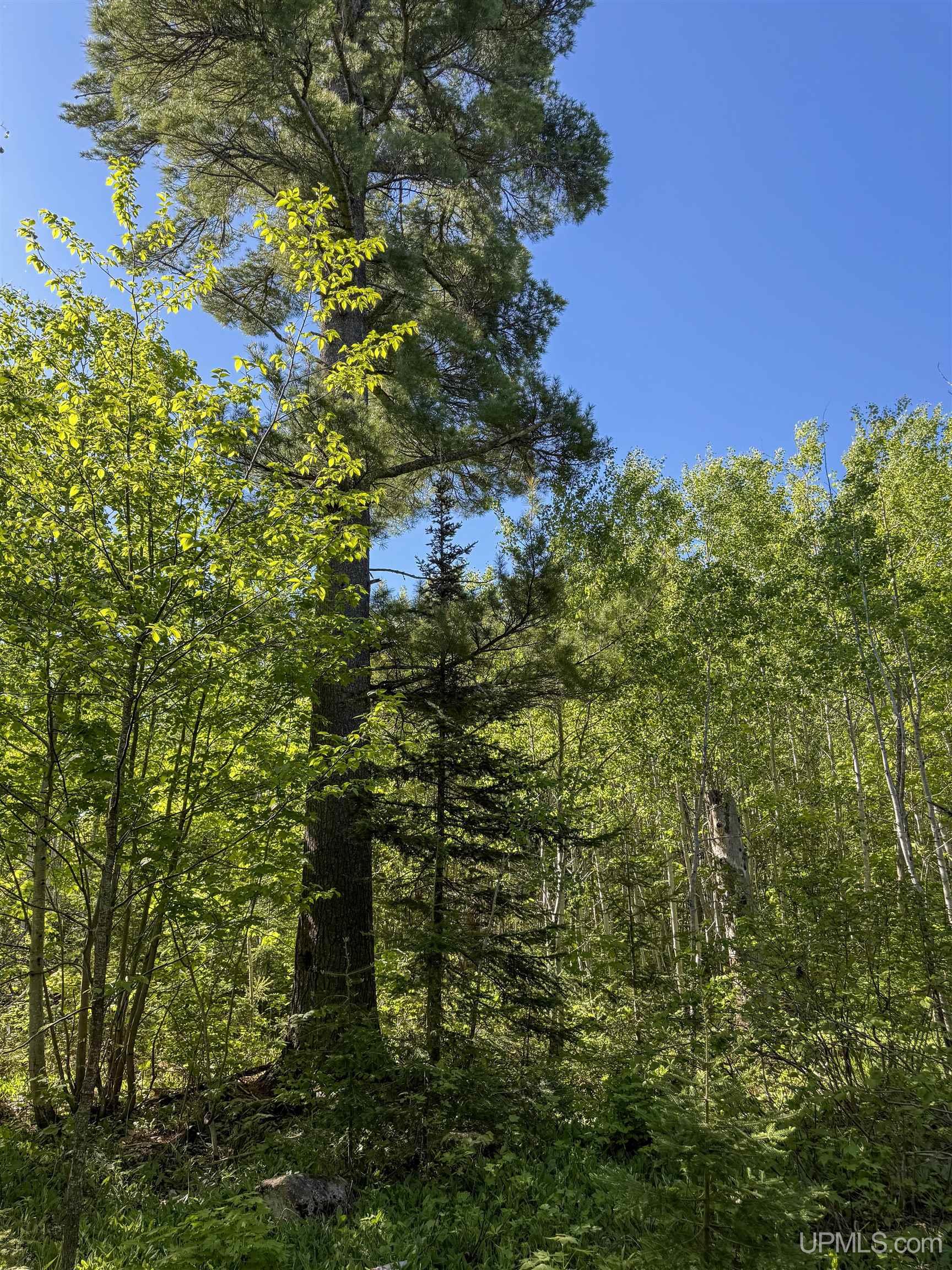
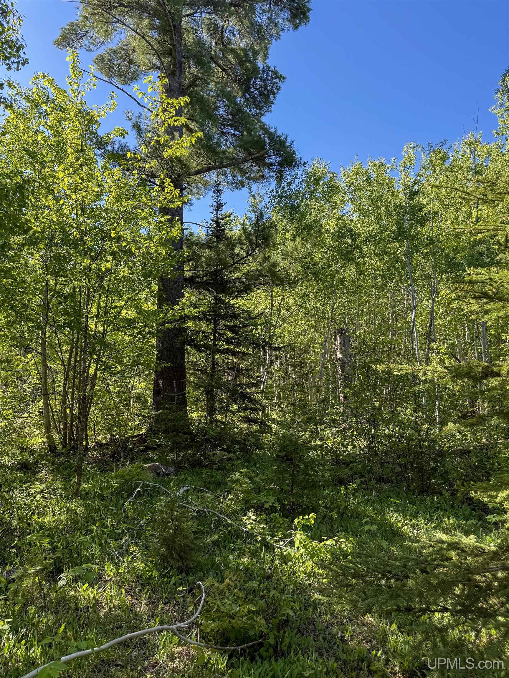
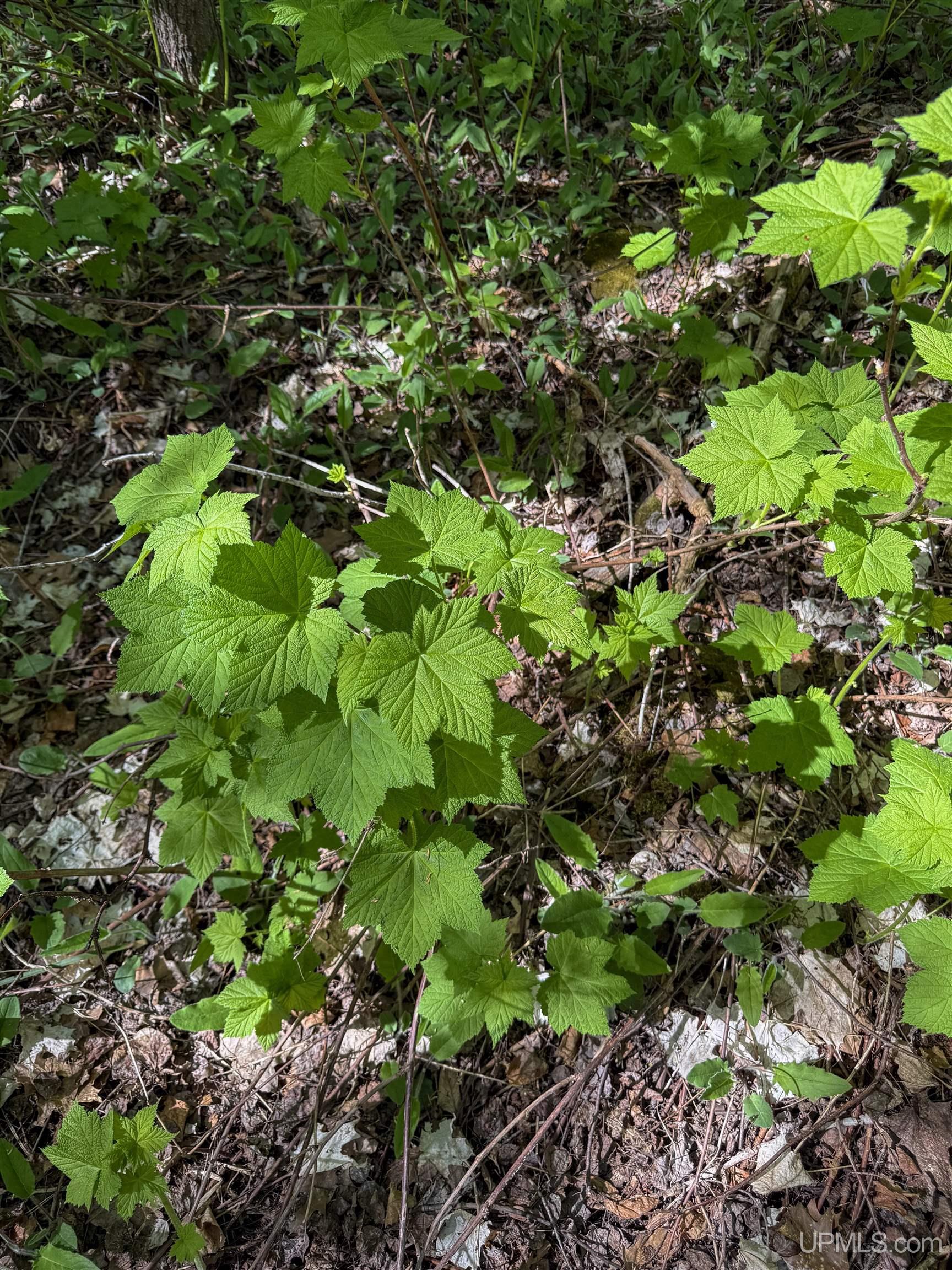
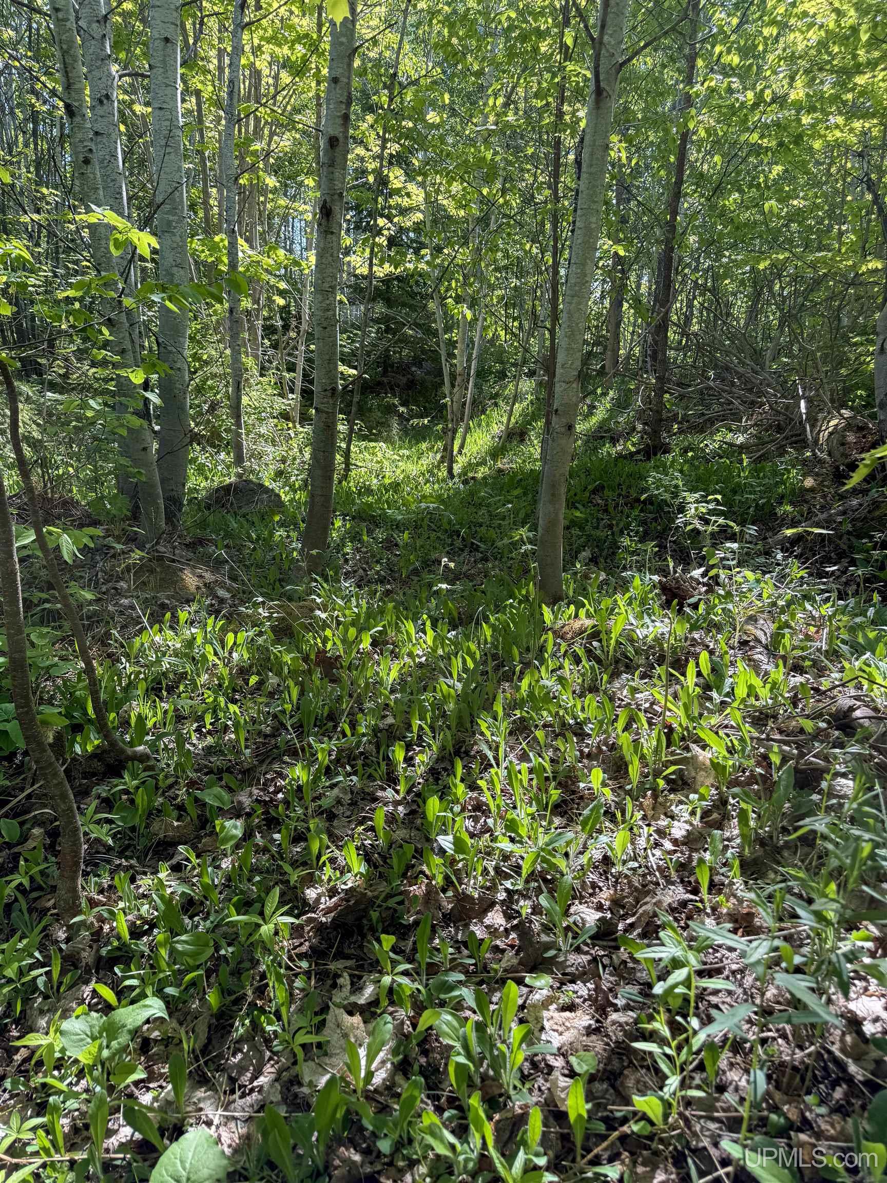
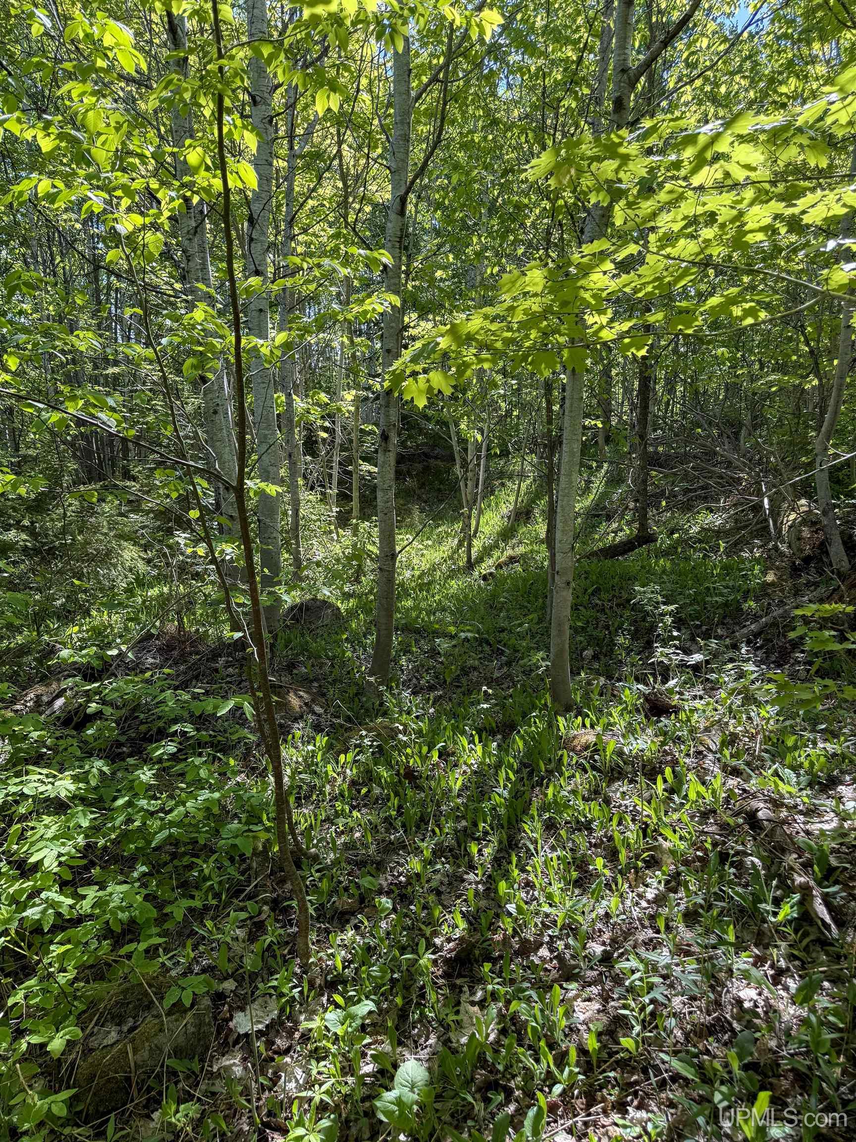
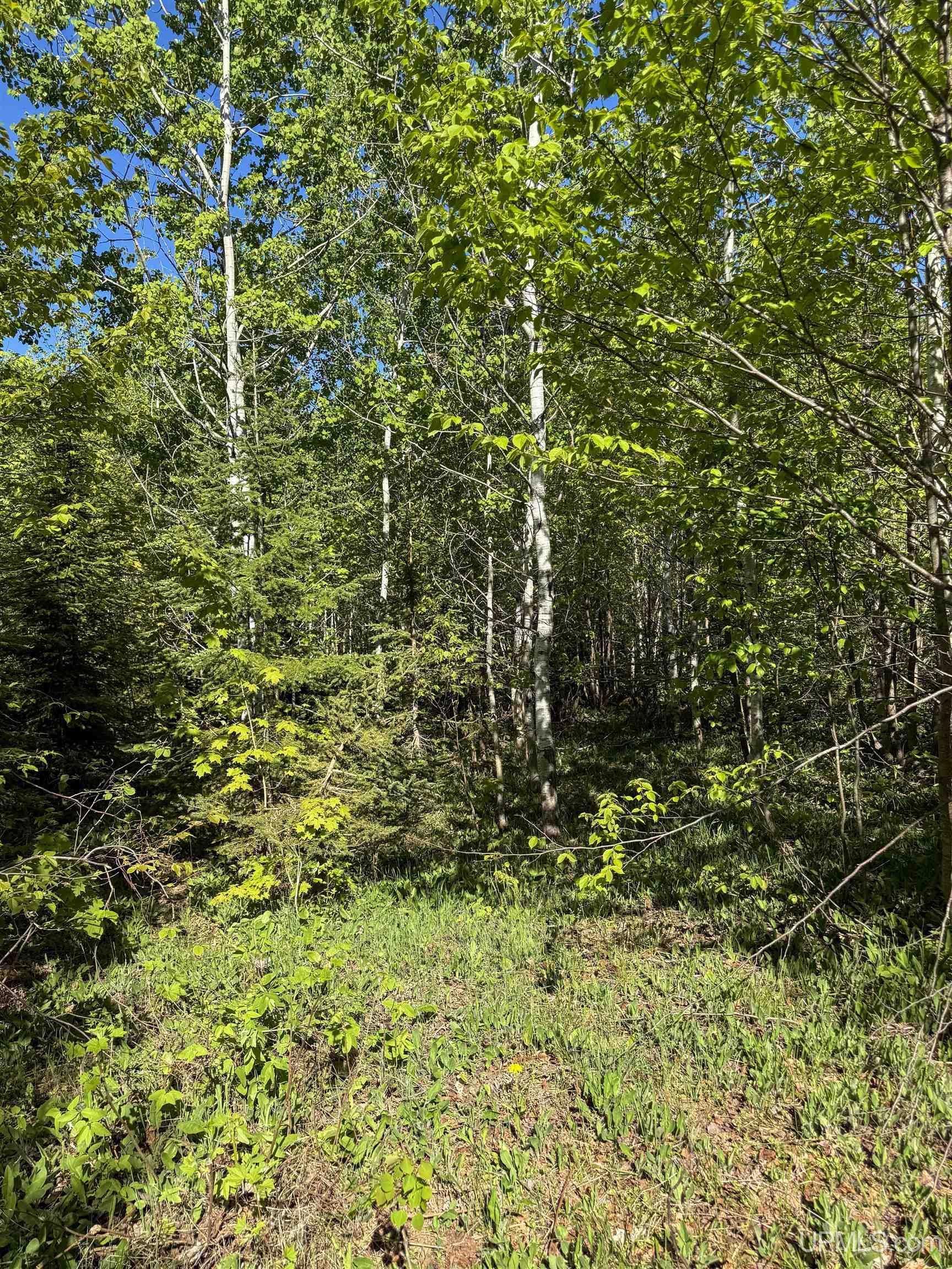
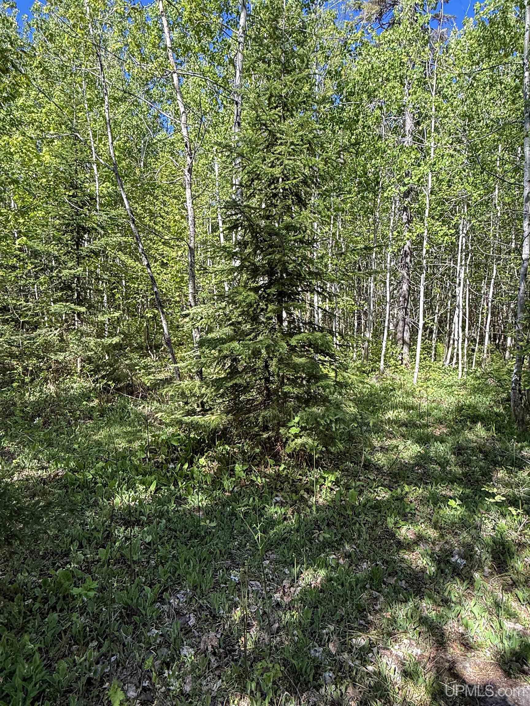
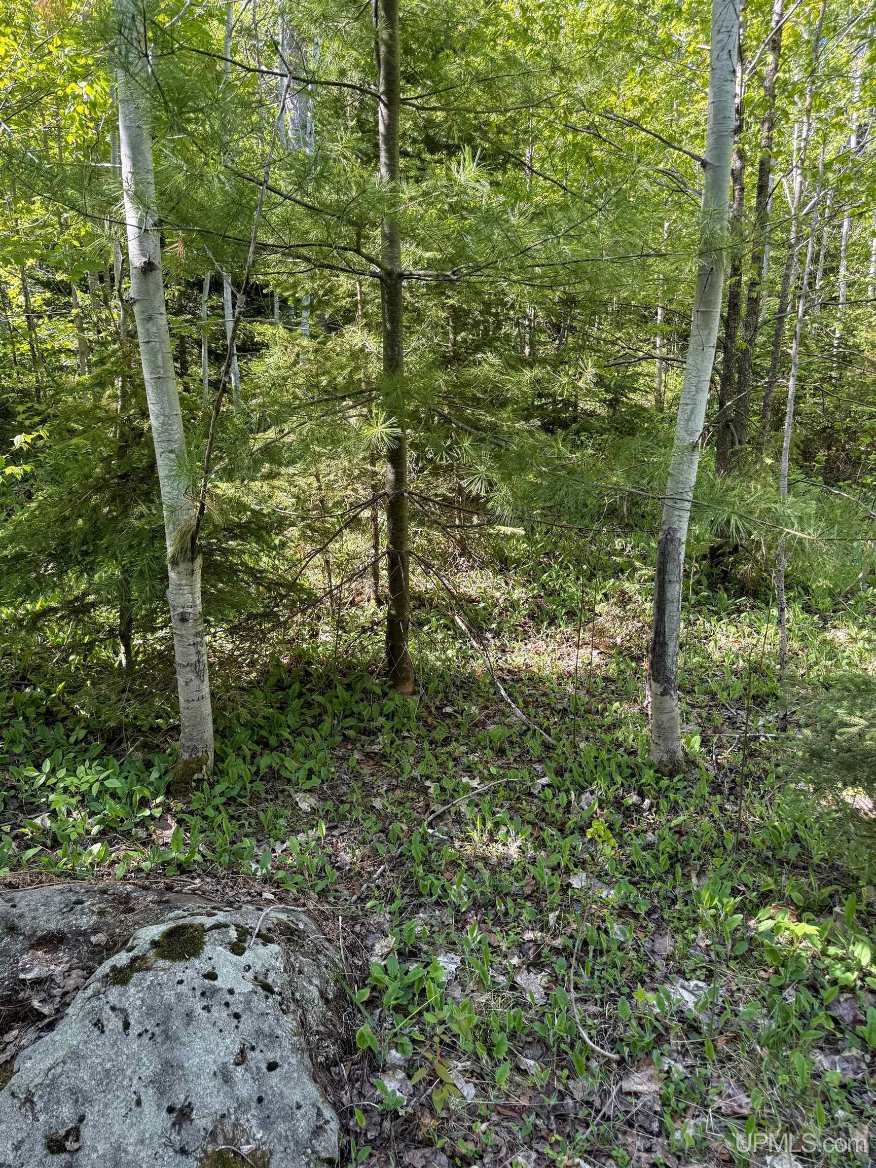
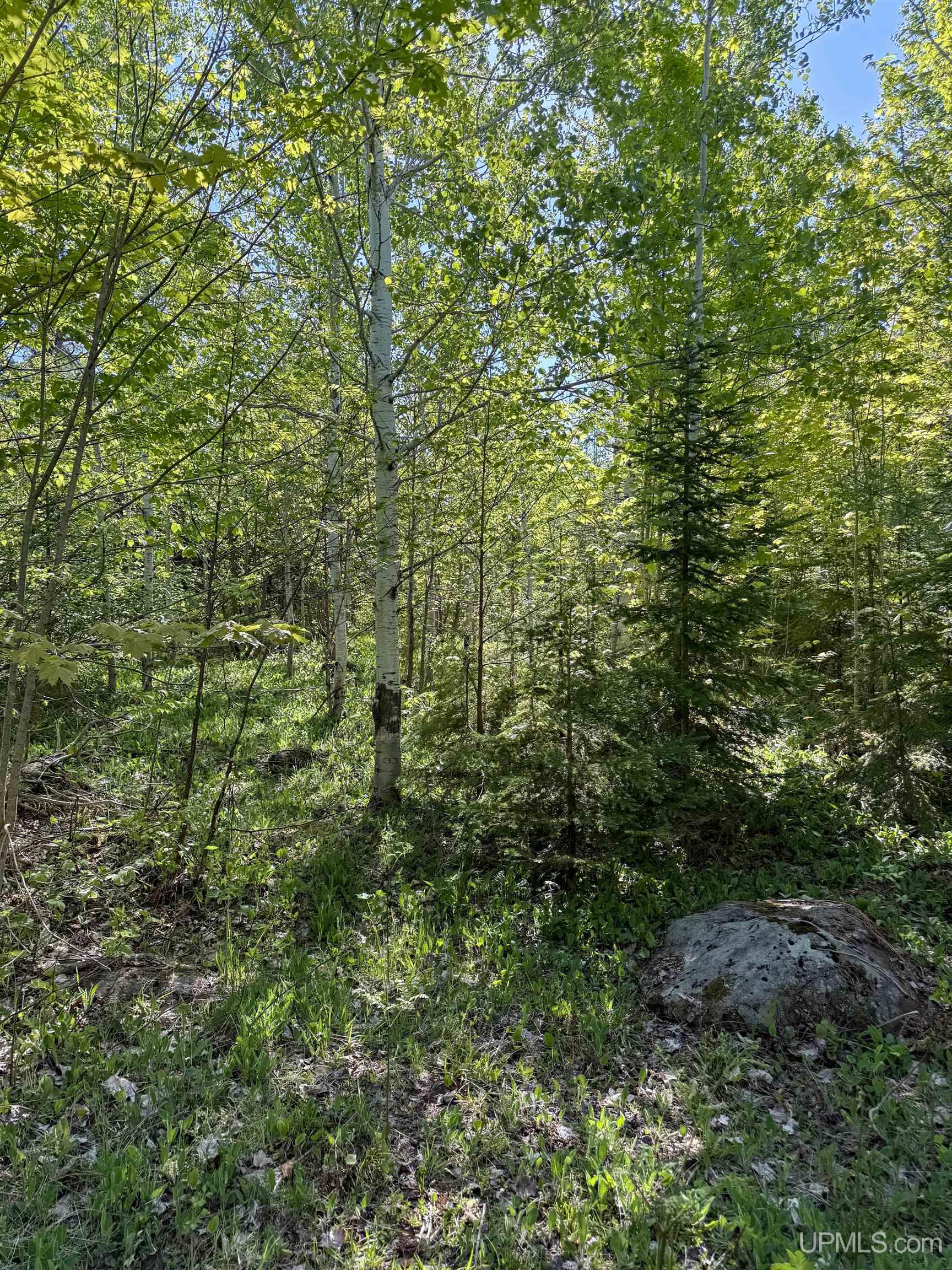
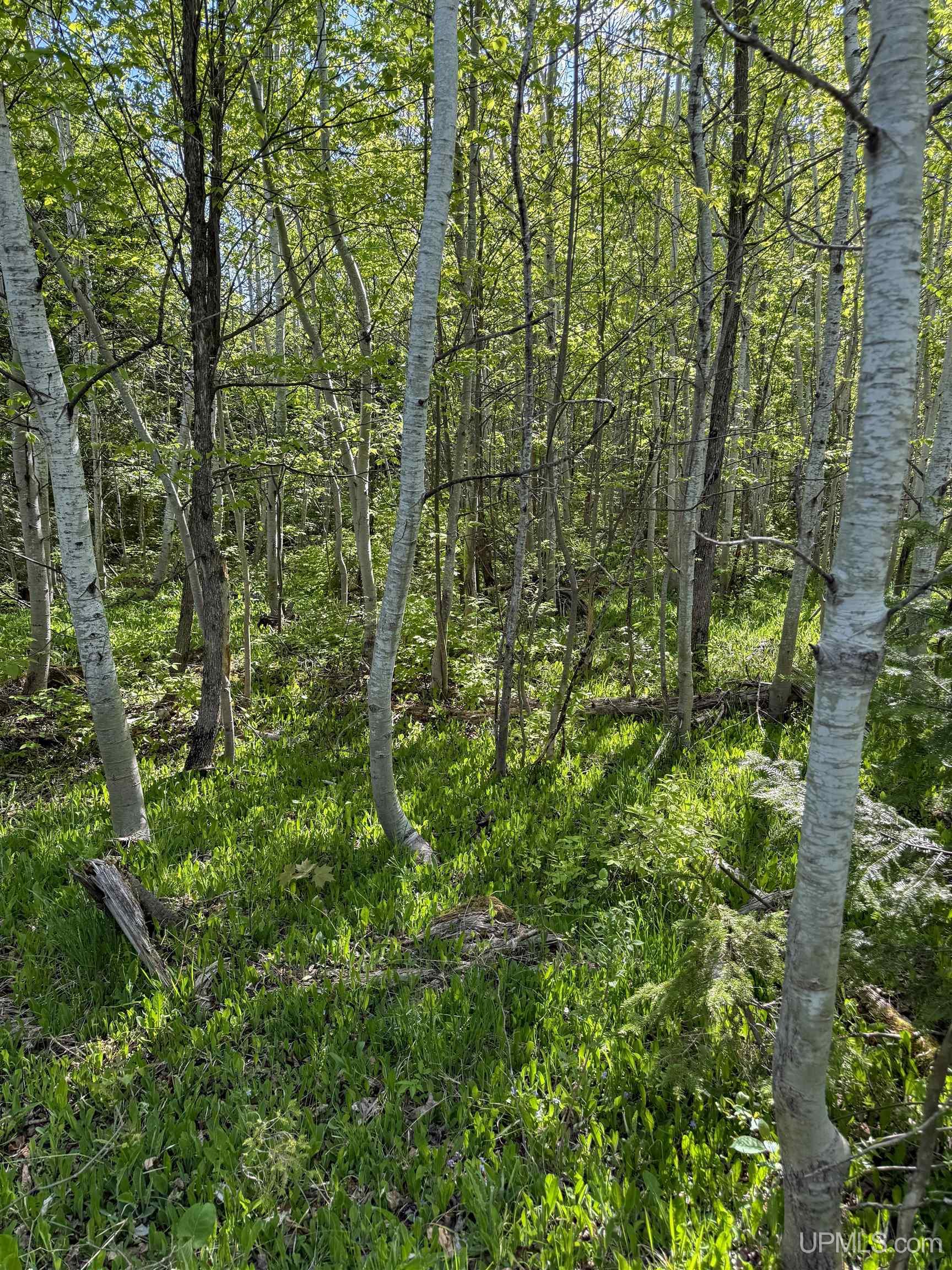
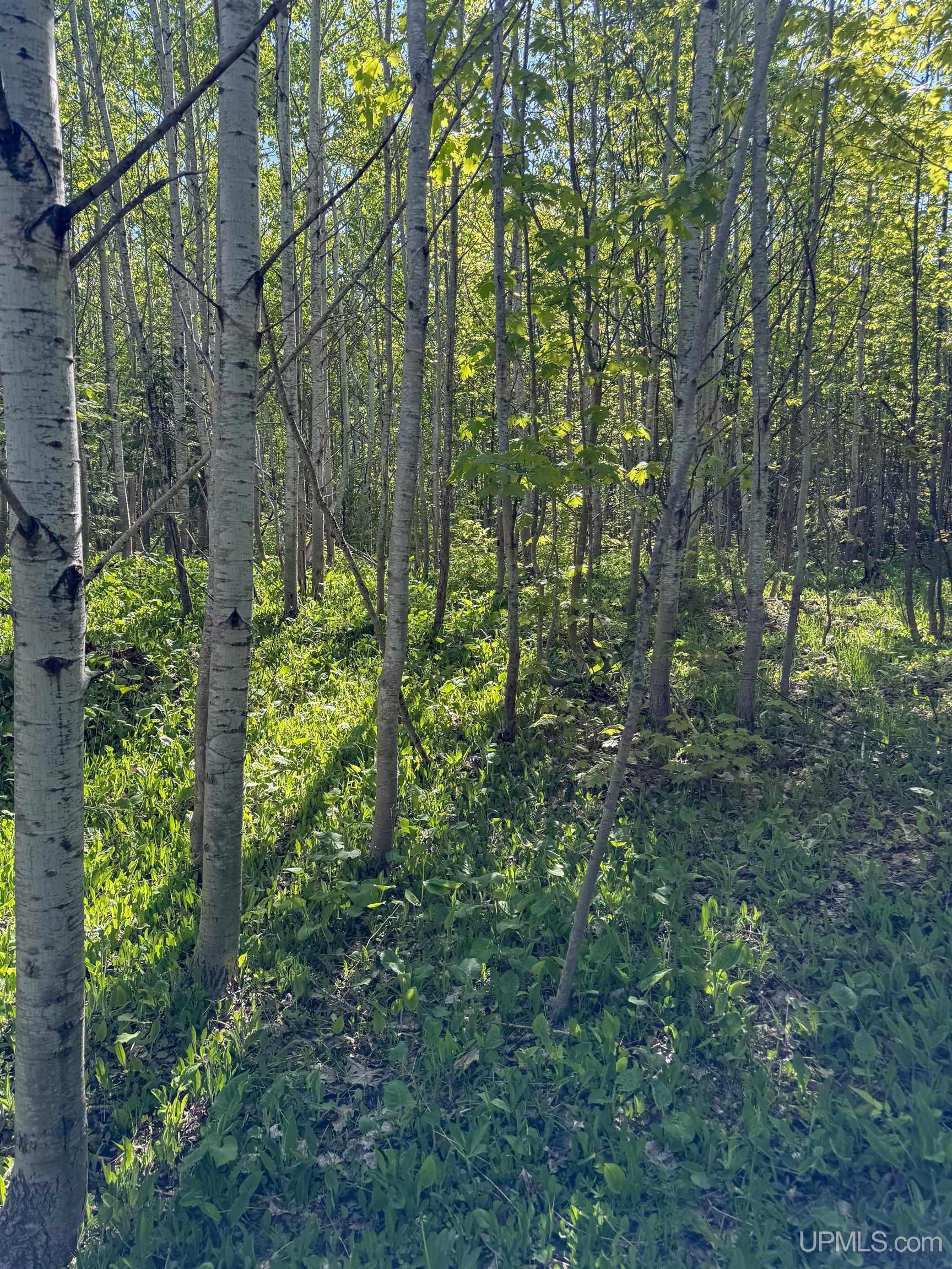
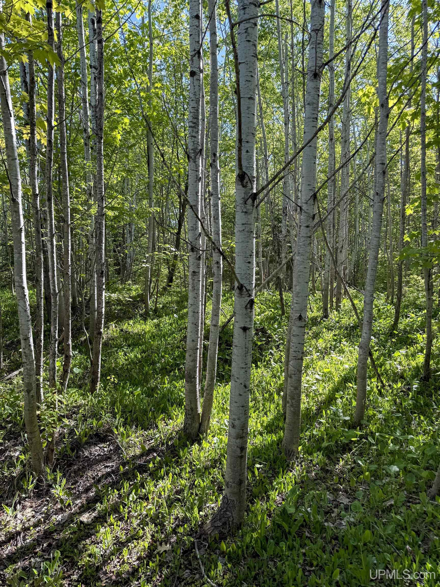
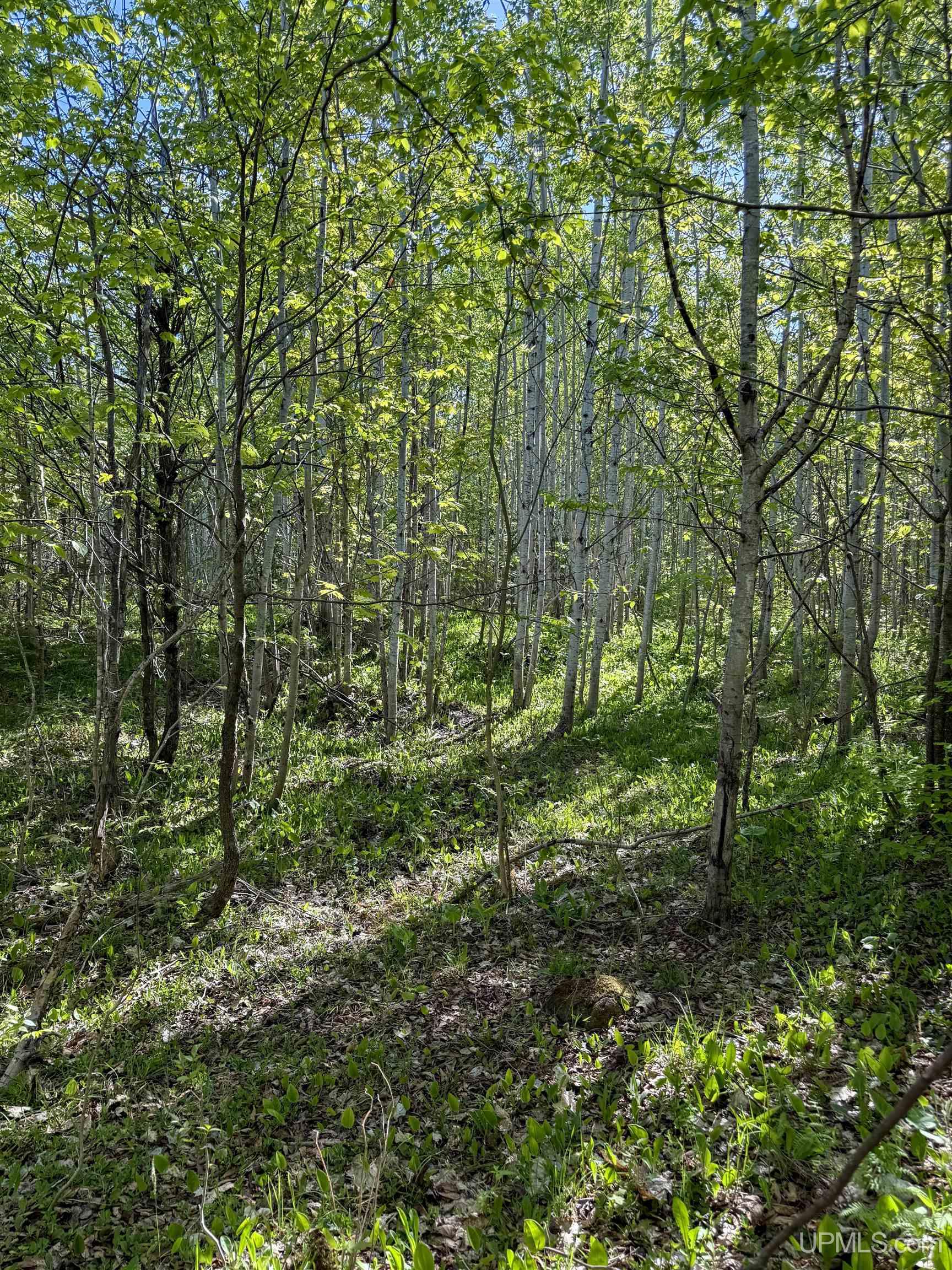
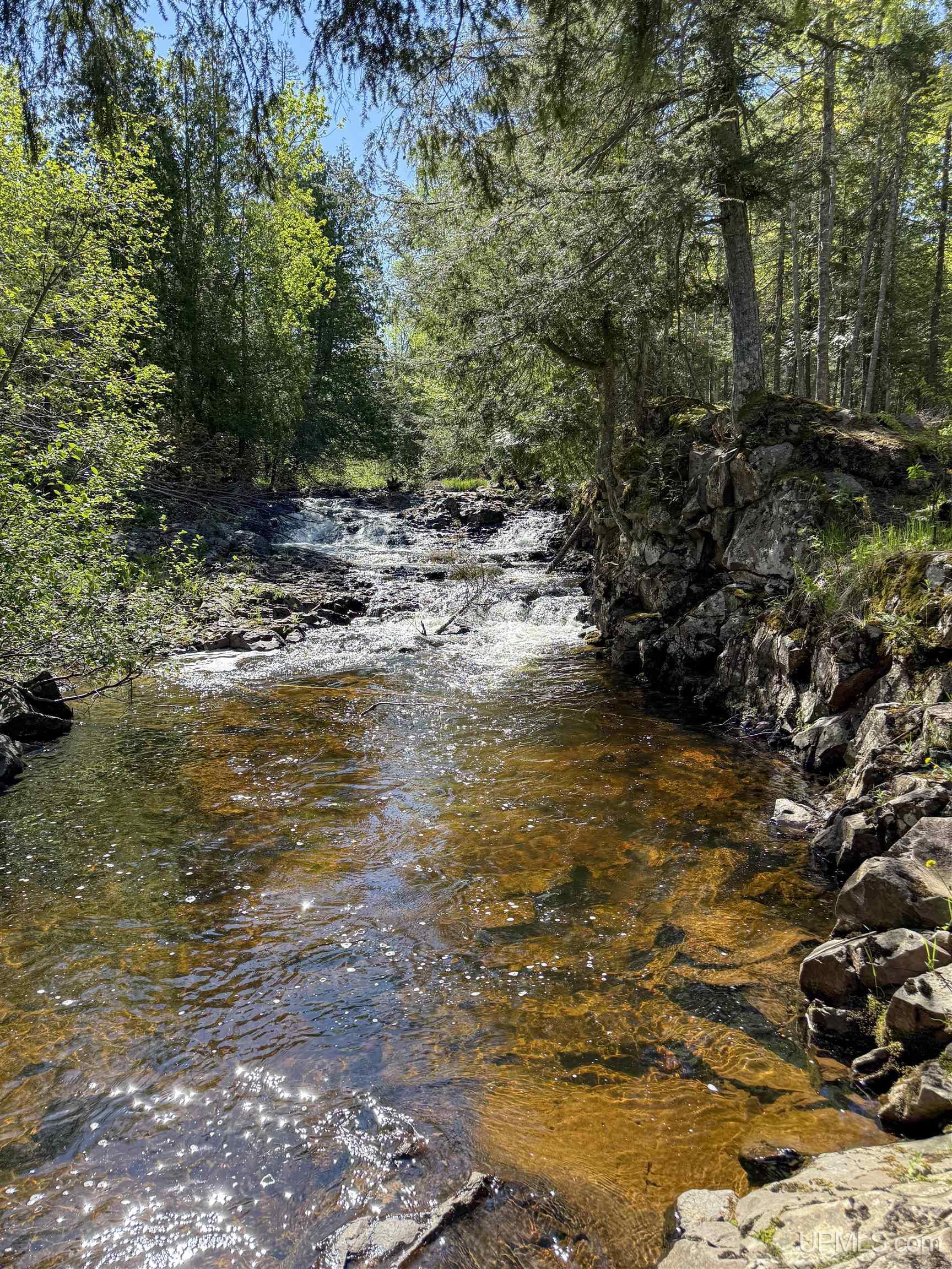
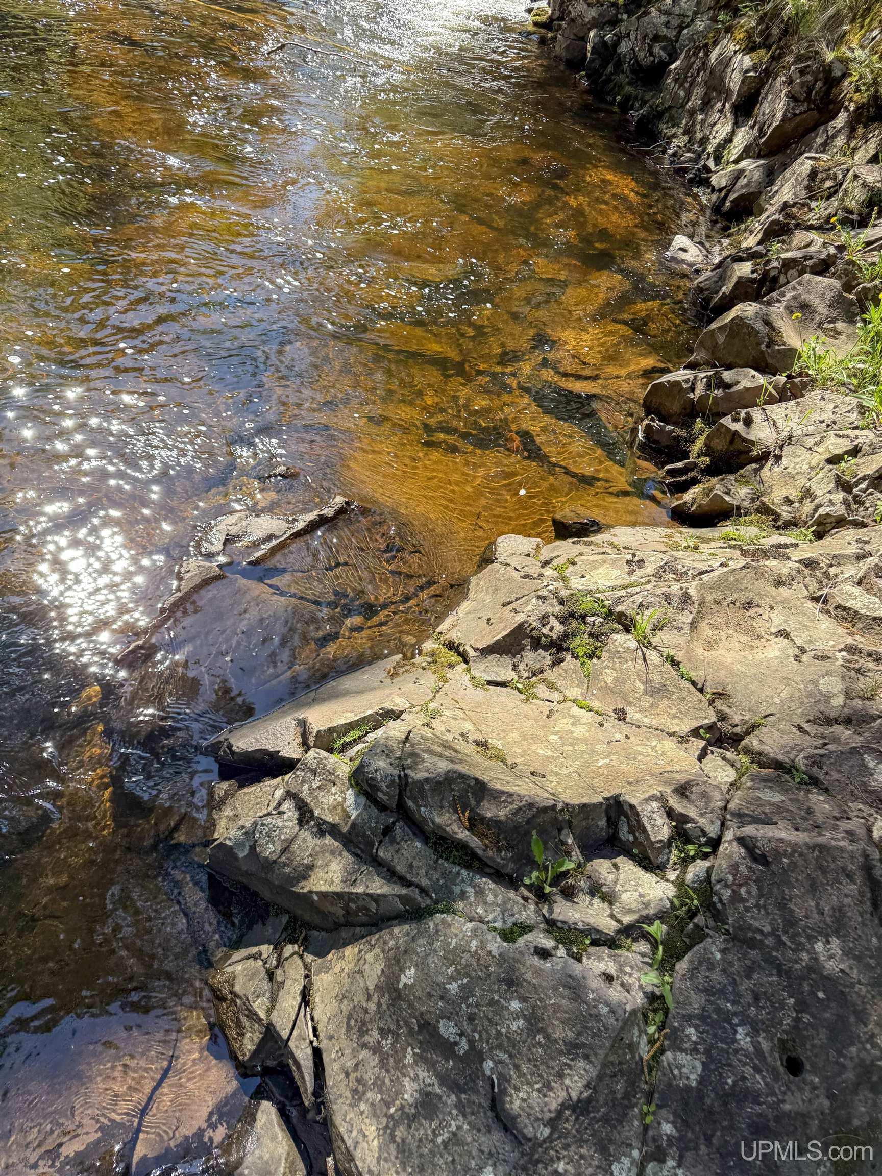
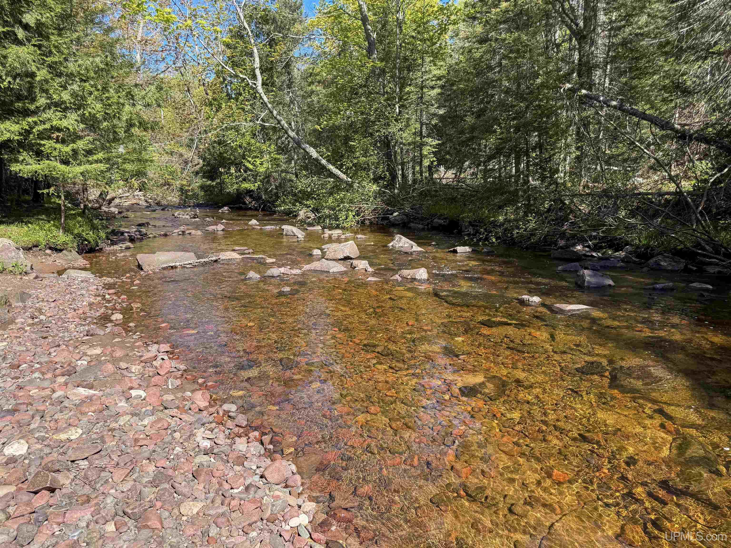
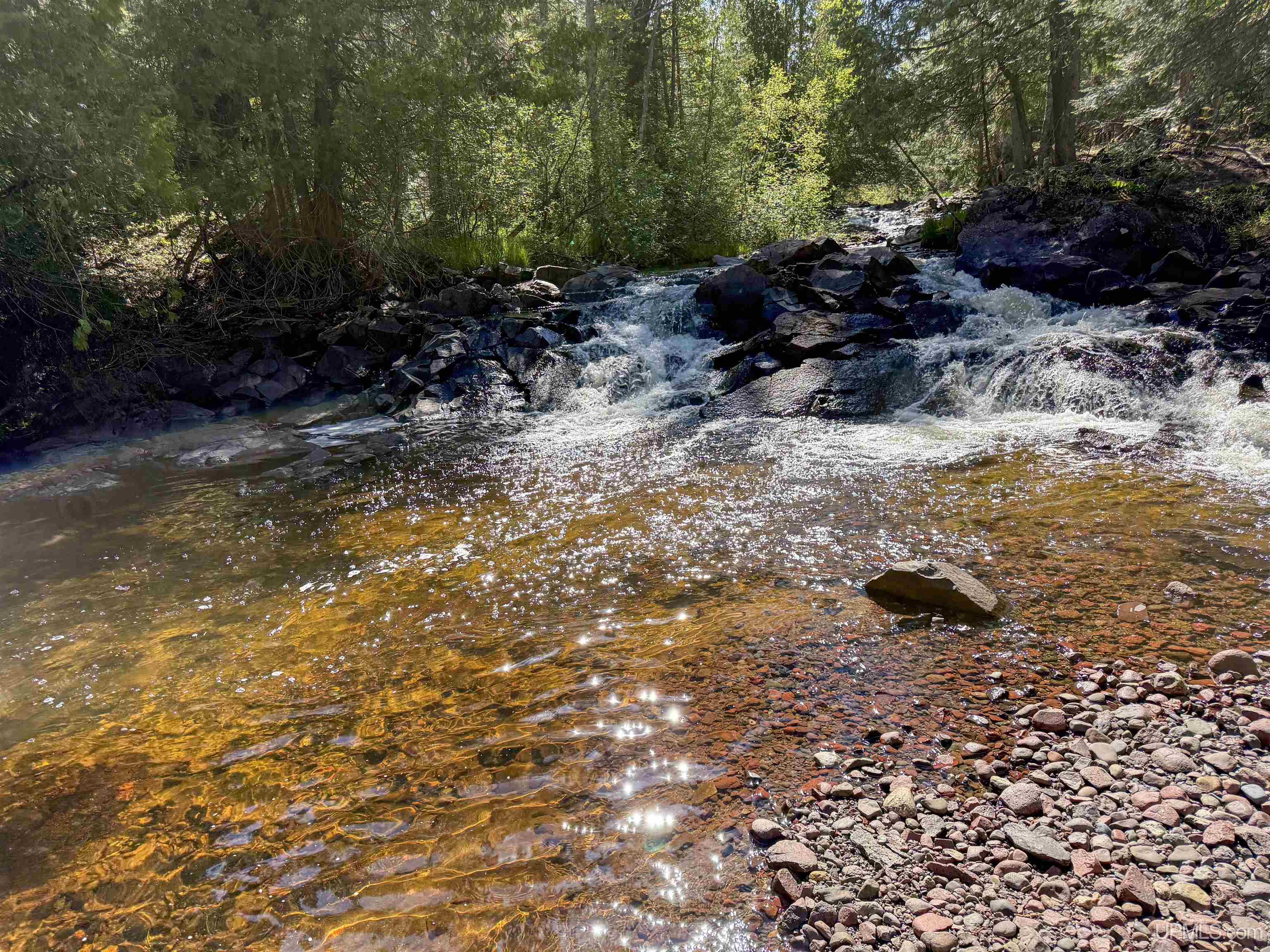
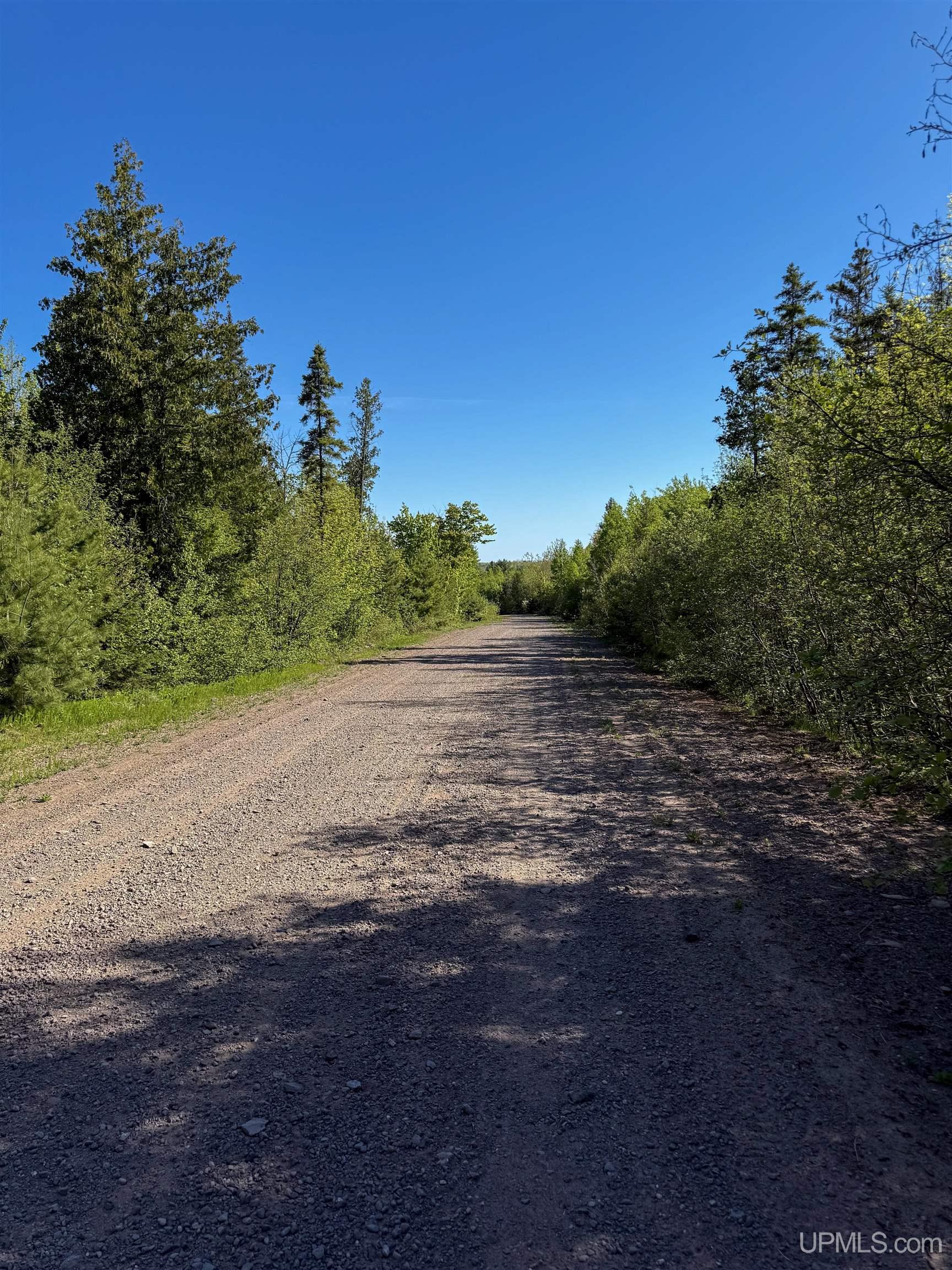
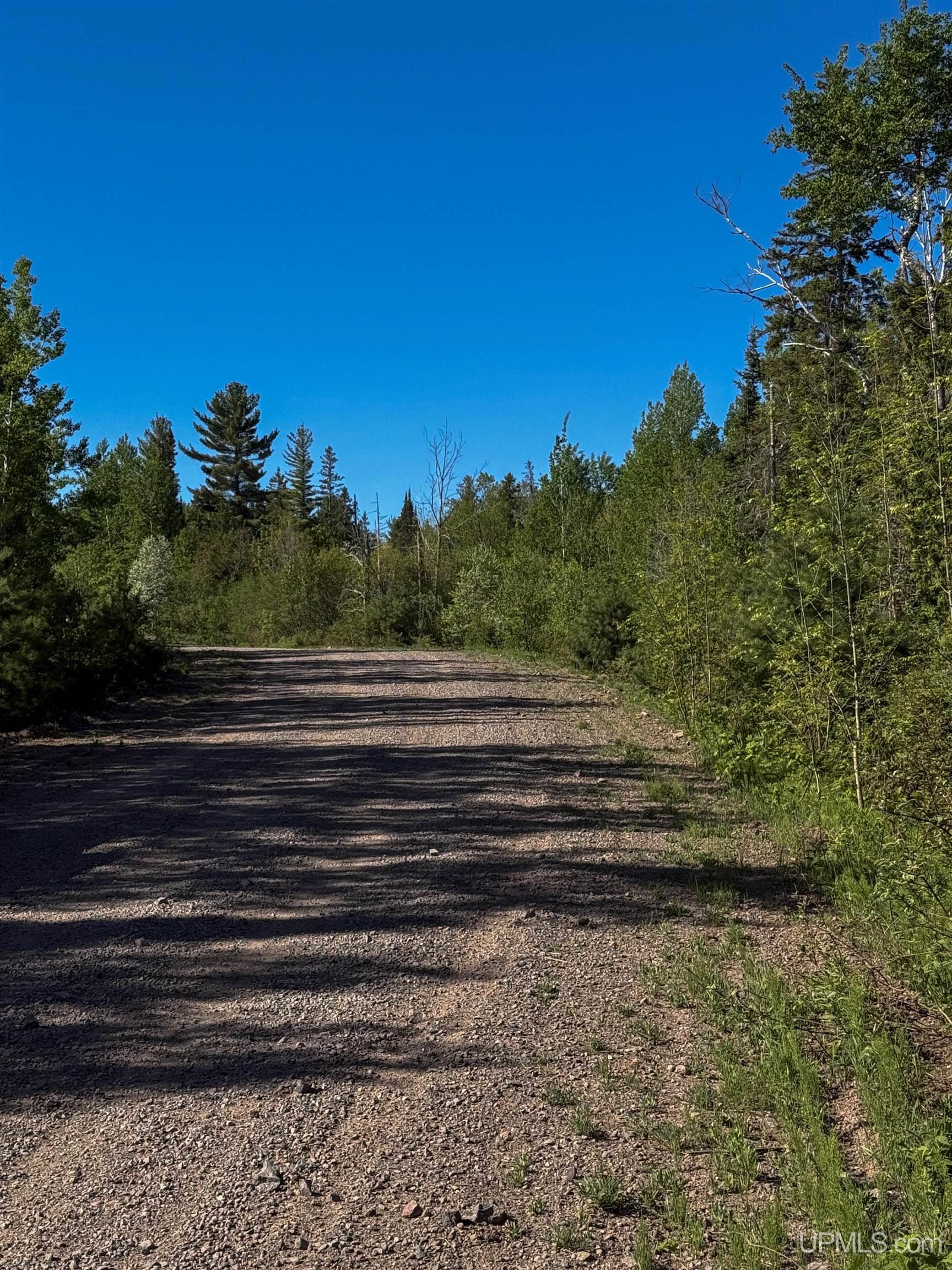
Lot A Gratiot River Road
Allouez, MI 49805
$46,500
MLS# 50210242
|
LISTING STATUS Active |


Location
|
SCHOOL DISTRICT Public Schools of Calumet |
|
COUNTY Keweenaw |
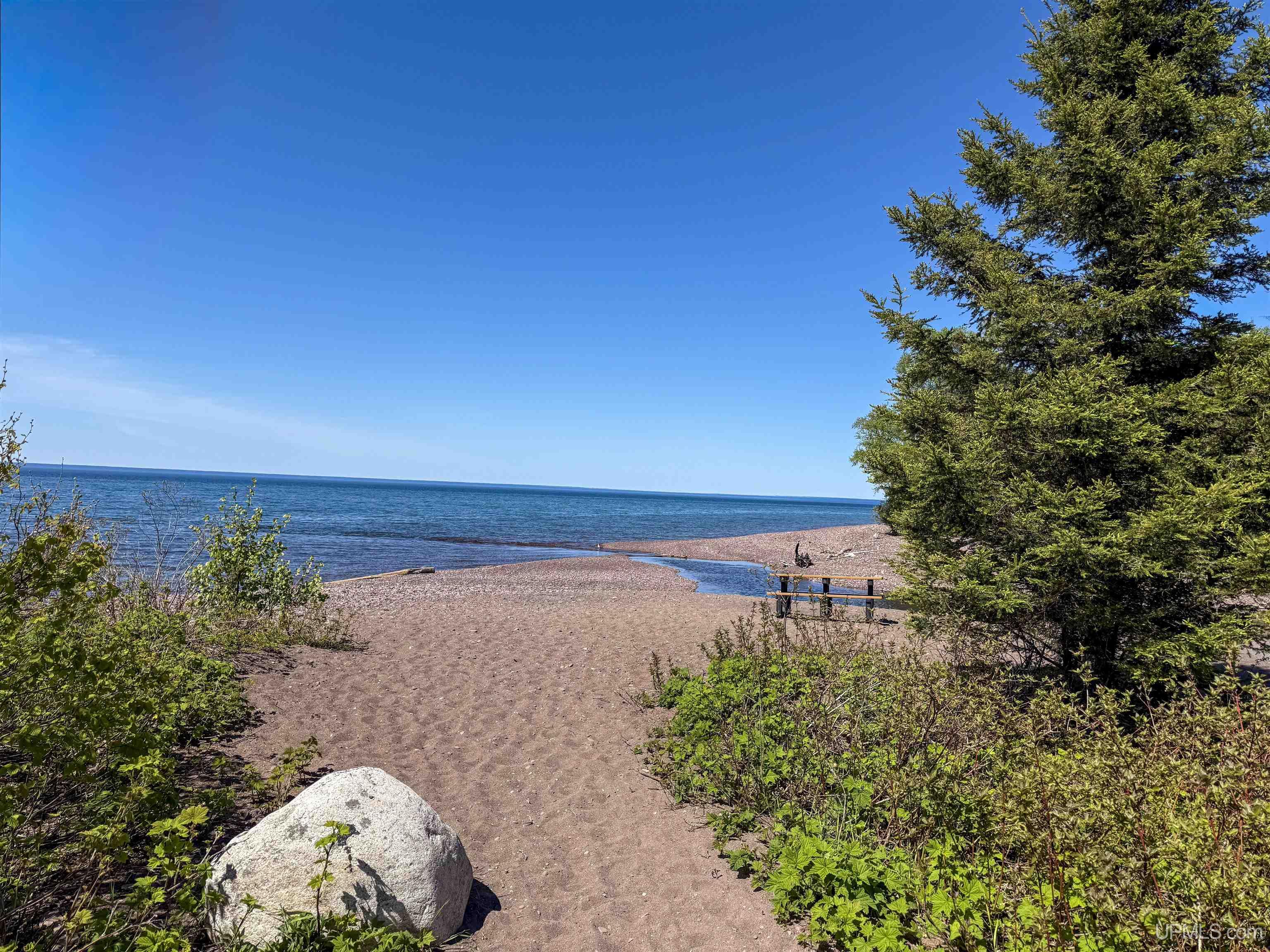
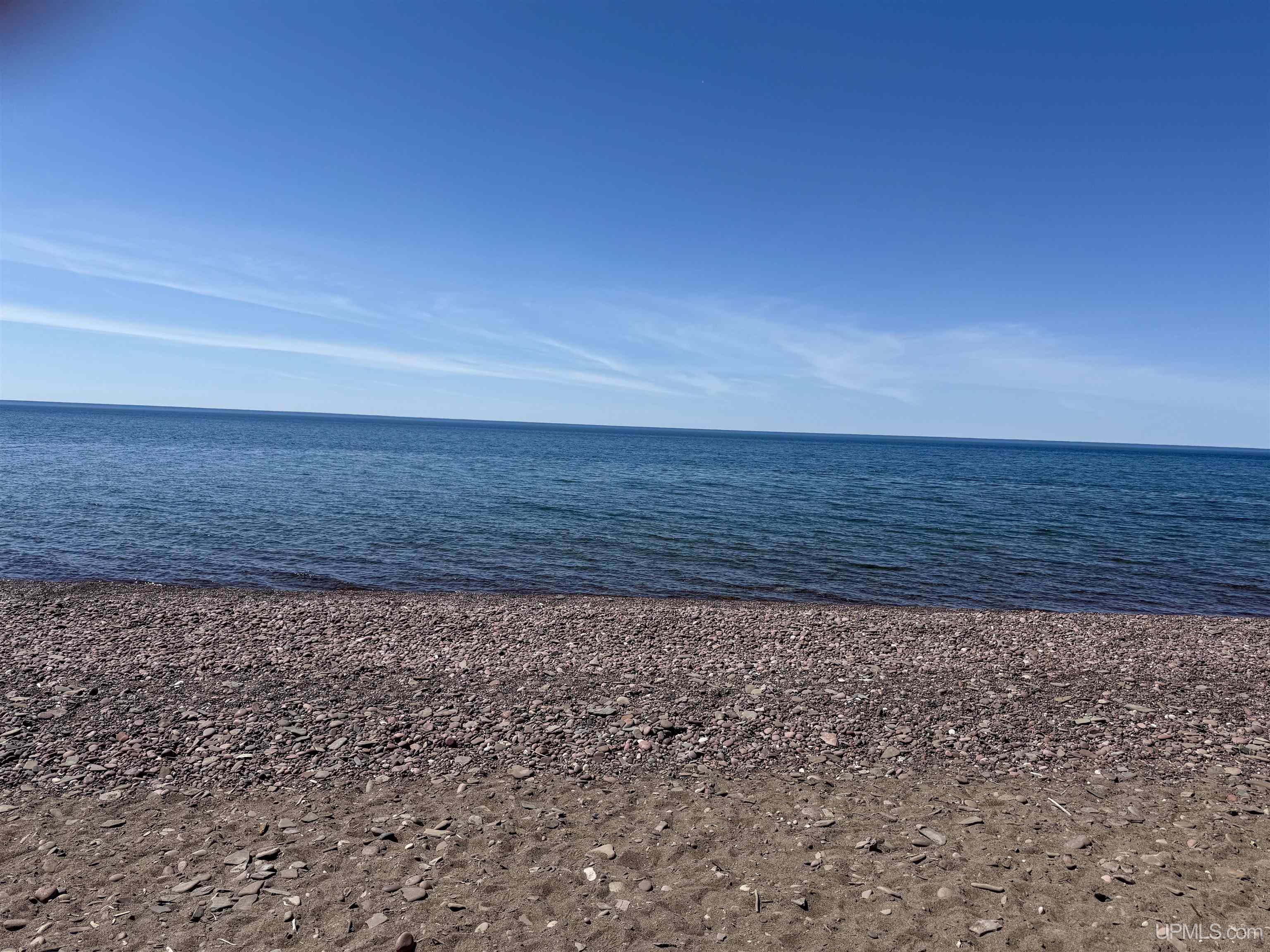
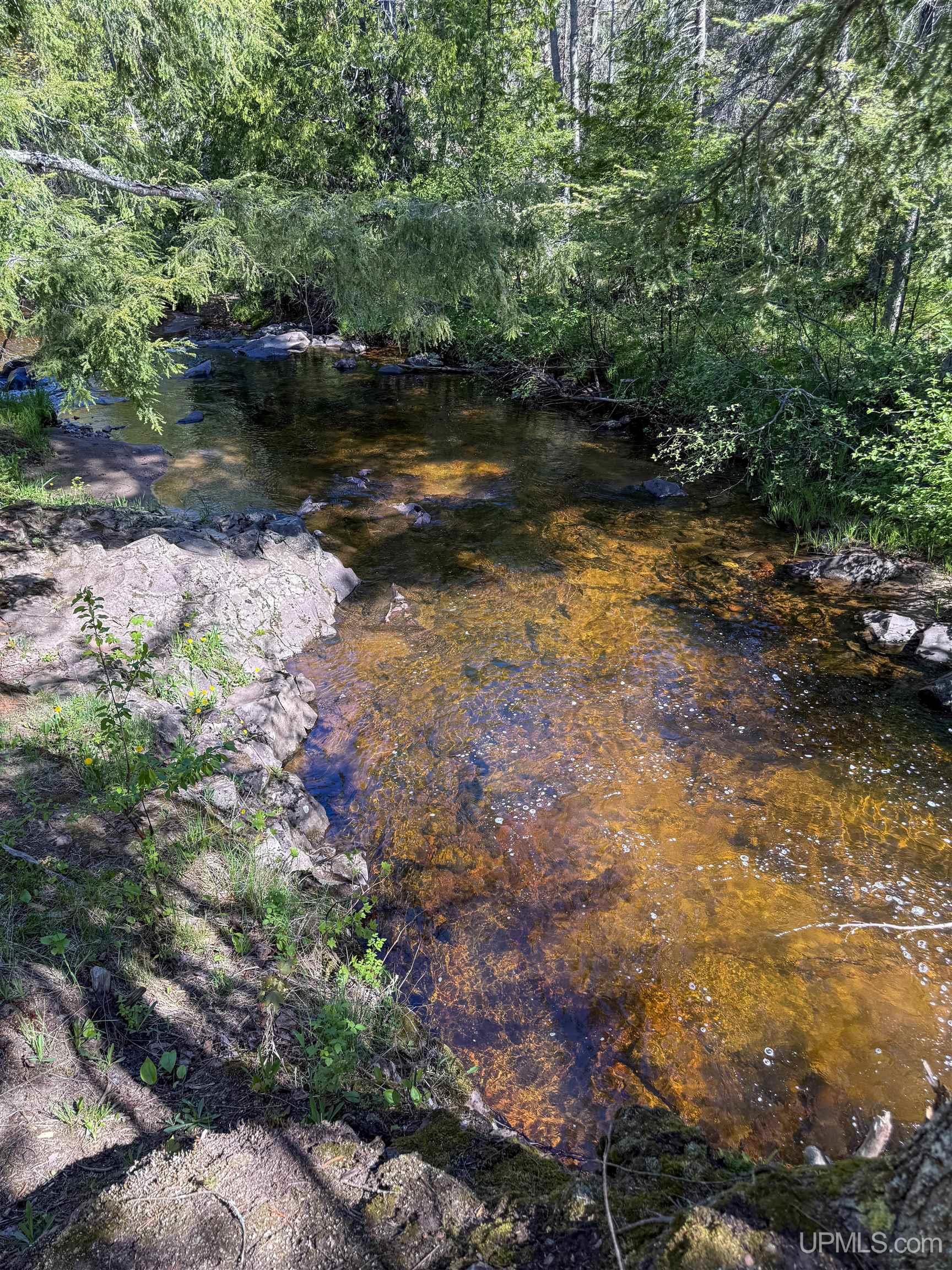
WATERFRONT No |
|
PROPERTY TAX AREA Allouez Twp (42003) |
|
ROAD ACCESS Gravel, Seasonal |
|
WATER FEATURES None |
|
LEGAL DESCRIPTION PARCEL “A” A PART OF THE NORTHEAST QUARTER OF THE NORTHWEST QUARTER (NE1/4 NW1/4) OF SECTION 31, TOWNSHIP 57 NORTH, RANGE 32 WEST, ALLOUEZ TOWNSHIP, KEWEENAW COUNTY, MICHIGAN, DESCRIBED AS FOLLOWS: BEGINNING AT THE NORTH 1/4 CORNER OF SAID SECTION 31; THENCE S.00°47’45”W., ALONG THE EAST LINE OF SAID NE1/4 NW1/4, 444.82 FEET; THENCE N.89°14’02”W., 328.11 FEET; THENCE N.00°47’43”E., 284.93 FEET; THENCE N.89°12’35”W., 561.00 FEET TO THE EAST RIGHT-OF-WAY LINE OF GRATIOT RIVER ROAD; THENCE ALONG SAID RIGHT-OF-WAY LINE ON A CURVE TO THE RIGHT HAVING A DELTA ANGLE OF 7°31’03”, A RADIUS OF 986.11 FEET, AN ARC LENGTH OF 129.39 FEET, AND A CHORD WHICH BEARS N.25°20’19”E., 129.29 FEET; THENCE N.29°05’51”E., CONTINUING ALONG SAID RIGHT-OF-WAY LINE, 48.01 FEET TO THE NORTH LINE OF SAID NE1/4 NW1/4; THENCE S.89°13’15”E., ALONG SAID NORTH LINE, 812.64 FEET TO THE POINT OF BEGINNING, CONTAINING 5.28 ACRES, MORE OR LESS. THE ABOVE-DESCRIBED PARCEL IS SHOWN AND DESCRIBED AS PARCEL “A” ON THE SURVEY |
|
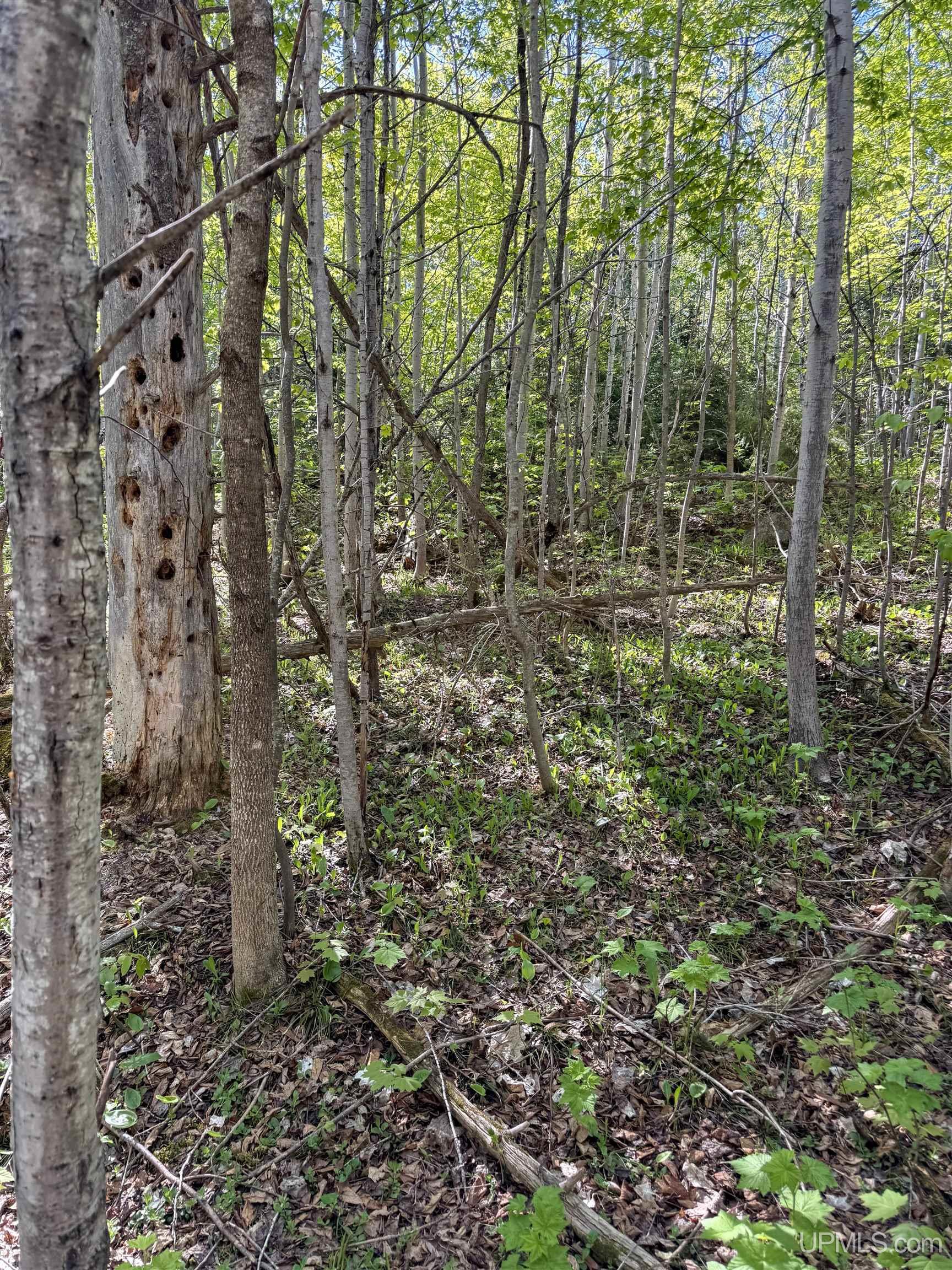
ACRES (APPROX.) 5.28 |
BODY OF WATER None |
|
ROAD ACCESS Gravel, Seasonal |
LOT DIMENSIONS
|
Irregular |
SHORE TYPE
|
Not Applicable |
|
TERRAIN
|
Utilities
|
UTILITIES None (Utilities) |
|
SEWER None |
|
FUEL ON SITE None (Fuel On Site) |
Listing Details
|
LISTING OFFICE Savu Realty |
|
LISTING AGENT Taivalkoski, Adam |